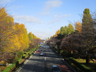
Route Description
Kunitachi Sta. north exit→The upward Hake-no-michi(road along the cliff line)→Kitaguchi-sakaue(Bus stop)→Hake-dori woodland→Hikari Plaza→Poppo-michi St.→Kita-fukushikan welfare facility→Arch along the green walkway→Kita-daiichi Park→Kita Shimin Plaza(Kunitachi North Civic Plaza)
Starting from JR Kunitachi Sta. North Exit, following the Kokubunji cliff line along the city boundary, and to the green walkway in the north…
* These are estimates given for a person, weight 60kg, moving at 4km per hour, walking 10 min.=30kcal, one step=70cm.
(2.39MB)
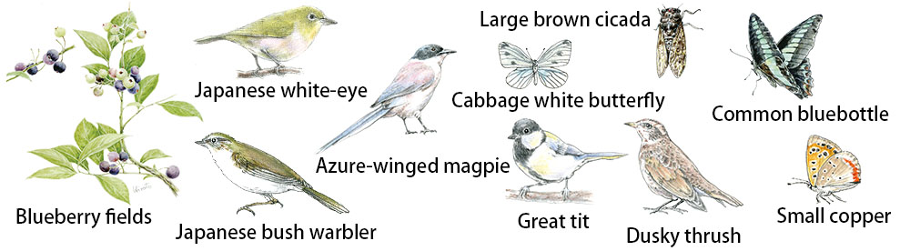
Creatures and plants who meet during walking
* Some details in the PDF walking map may differ from Google Map.
* Contact regarding the PDF walking map offered on this website.
[Health Center, Kunitachi City Health Promotion Division TEL: 042-572-6111]