Kunitachi Local Culture Museum
Route Description
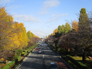
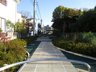
Kunitachi Sta. South Exit→Stairs on the city boundary along Kokubunji cliff line→City boundary at Higashi 1-10→Ozen-ji Temple→Bonko-en children's park→Shirami-zaka sloping road(Kokubunji City)→Tamaran-zaka sloping road→Shirami-zaka sloping road(Fuchu City)→Mikaerizaka Park→Seseragi Park→Haijima Road→Daigaku-dori Ave.→Edo-kaido Road
A course starting from JR Kunitachi Sta. South Exit, going up the Kokubunji Cliff Line (Hake) and walking along the city boundary in the east from Kokubunji toward Fuchu.
* These are estimates given for a person, weight 60kg, moving at 4km per hour, walking 10 min.=30kcal, one step=70cm.
(3.84MB)
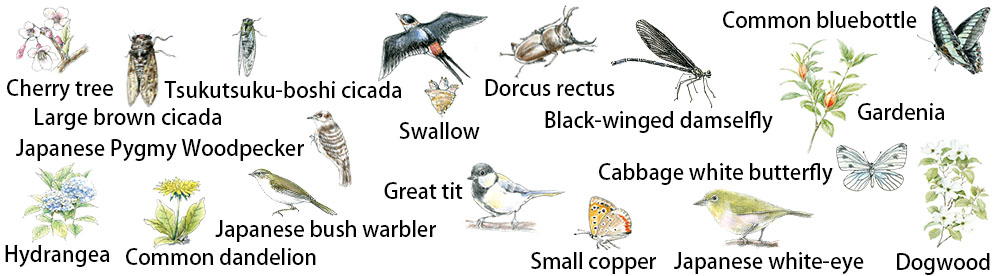
Creatures and plants who meet during walking
* Some details in the PDF walking map may differ from Google Map.
* Contact regarding the PDF walking map offered on this website.
[Health Center, Kunitachi City Health Promotion Division TEL: 042-572-6111]