Route Description
Nozuta Shako Bus Stop→Furusato Nogu-kan (museum of agricultural tools)→Kamakura Ido (well)→Old Kamakura Road Kami-no-michi→Yoroizeki Waterfront Square→Athletic Stadium→Nozuta Shako Bus Stop
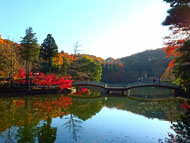
It is said that Mt. Nanakuni (literally, seven provinces), a small hill with an altitude of 128.4 m, was named because people enjoyed the view of seven provinces (Sagami, Kai, Izu, Suruga, Shinano, Kozuke and Shimotsuke) on the top of the mountain. The Old Kamakura Road runs through Mt. Nanakuni, and continues in the direction of Nozuta Park.
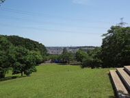
The athletic stadium in Nozuta Park is the home stadium of “FC Machida Zelvia,” a team in the Japan Professional Football League.
* These are estimates given for a person, weight 60kg, moving at 4km per hour, walking 10 min.=30kcal, one step=70cm.
(1.25MB)
* Some details in the PDF walking map may differ from Google Map.
* Contact regarding the PDF walking map offered on this website.
[Machida City Health Center Health Promotion Dept. TEL 042-724-4236]