Route Description
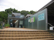
Yaho Sta.→Plum grove of Yabo Tenmangu Shrine→Tunnel→Kamisaka Bridge→Oyama Bridge→A monument of Yaho Ichibanchi→Ichikawa Ryokudo green walkway Arbor→Spring water in Nishifu-cho→Kamisaka Bridge→Hake-ue (top of the cliff line)→Yaho east ruins site→Koshu-kaido Road→Honda family residence→Yaho Sta.
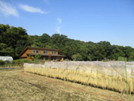
Starting from the plum grove of Yabo Tenmangu Shrine, walk to the city boundary with Fuchu City along the water channel at the bottom of the cliff. Then, from the top of the cliff line to Yaho Sta. via Koshu-kaido Road.
* These are estimates given for a person, weight 60kg, moving at 4km per hour, walking 10 min.=30kcal, one step=70cm.
(1.65MB)
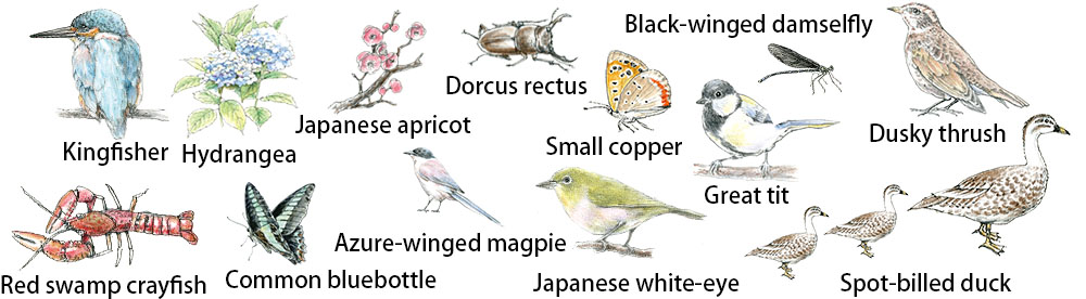
Creatures and plants who meet during walking
* Some details in the PDF walking map may differ from Google Map.
* Contact regarding the PDF walking map offered on this website.
[Health Center, Kunitachi City Health Promotion Division TEL: 042-572-6111]