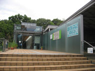
Kunitachi Local Culture Museum
Route Description
Yaho Sta.→Yabo Tenmangu Shrine→Kunitachi 3rd Junior High School→Under the expressway→Water Reclamation Center open space→Ishida Ohashi Kita crossing(→Yabo weir→Intake facility of Fuchu irrigation channel→Aoyagi Inari-jinja Shrine→Aoyagi welfare center→Yagawa Ikoi-no-hiroba Park→Yagawa Sta.)→Teranoshita waterside park→Akisui-mon water gate→Yagawa Sta.
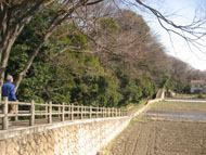
Walking south along the flow of the spring water from Yabo Tenmangu Shrine ground, you will see Fuchu irrigation channel and the rice fields of Yaho. This course starts from Joyama area toward the Water Reclamation Center open space and Teranoshita Waterside Park, and finishes at Yagawa Sta., but you may also wish to go a little further to Aoyagi Inari-jinja Shrine and the intake facility of Fuchu irrigation channel.
* These are estimates given for a person, weight 60kg, moving at 4km per hour, walking 10 min.=30kcal, one step=70cm.
(1.87MB)
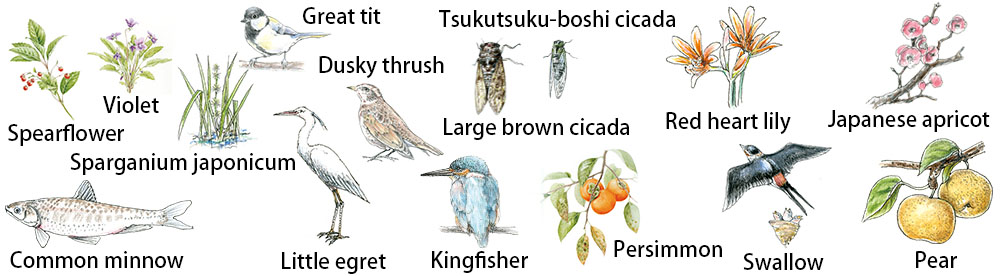
Creatures and plants who meet during walking
* Some details in the PDF walking map may differ from Google Map.
* Contact regarding the PDF walking map offered on this website.
[Health Center, Kunitachi City Health Promotion Division TEL: 042-572-6111]