Route Description
Nagayama Sta.→Suwa Daisan Park→Denshami-bashi Bridge→Hijirigaoka Elementary School→Hijiri-kan (Community Center)
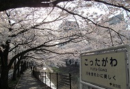
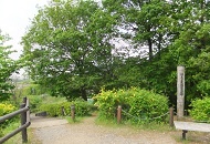
There is Denshami-bashi Bridge overlooking the Odakyu Tama Line and the Keio Sagamihara Line as well as the Tama-higashi Park and many other parks dotting the 2.4 km introductory course from Nagayama Sta.-mae to the Hijirigaoka Community Center.
* These are estimates given for a person, weight 60kg, moving at 4km per hour, walking 10 min.=30kcal, one step=70cm.
(0.73MB)
* Some details in the PDF walking map may differ from Google Map.
* Contact regarding the PDF walking map offered on this website.
[Tama City Health Promotion Section Tel 042-376-9139]