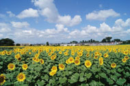
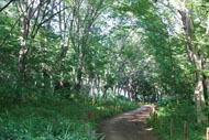
Route Description
Kiyose Station (in front of North Exit Koban)→Kiyose Keyaki Road Gallery (in front of Kyodo-Hakubutsukan Iriguchi Bus Stop)→Nakazato no Fujizuka Mound→Kiyose Seseragi Park (Miyashita Bridge)→Nakazato Ryokuchi Park (Misato Bridge)→Empukuji Temple
* These are estimates given for a person, weight 60kg, moving at 4km per hour, walking 10 min.=30kcal, one step=70cm.
(1.31MB)
* Some details in the PDF walking map may differ from Google Map.
* Contact regarding the PDF walking map offered on this website.
[Health and Welfare Department Health Promotion Division, Kiyose City TEL 042-497-2076]