Route Description
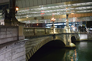
Hama-cho Park→Suitengu Shrine→Ningyo-cho Karakuri-yagura Tower→Jisshi Park→Yakuso-jinja Shrine→Fukutoku-jinja Shrine→Mitsukoshi-mae Sta. (Exit 6)
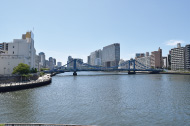
Searching for the Vestiges and Nostalgic Atmosphere of Edo
* The time, calorie consumption, and number of steps for each walking course were calculated using a speed of 4 km/h, walking 10 minutes = 30 kcal, one step = 70 cm and a body weight of 60 kg.
(10.7MB)
* These courses are listed on P.13~15 of the PDF Walking Map.
* Some details in the PDF walking map may differ from Google Map.
* Contact regarding the PDF walking map offered on this website.
[Chuo-ku Health Center Health Promotion Dept. TEL 03-3541-5930]