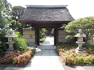
Route Description
Honjo-azumabashi Sta.→Tokyo Mizumachi®→Jukken Bridge→Promenade along the Kitajukken River→Kyu-Nakagawa Waterfront Park→Omurai Sta.
A pleasant course walking along the waterfront from the Kitajukken River to the Kyu-Nakagawa River. Enjoy the photogenic scenery, including an upside-down SKYTREE and the old Nakagawa River where waterfowl rest.
* These are estimates given for a person, weight 60kg, moving at 4km per hour, walking 10 min.=30kcal, one step=70cm.
(7.17MB)
* These courses are listed on P. 6 of the PDF Walking Map.
* Some details in the PDF walking map may differ from Google Map.
* Contact regarding the PDF walking map offered on this website.
[Sumida City Health Planning Division Tel 03-5608-8514]