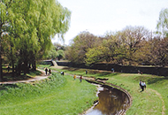
Route Description
The Village of Osawa Park→ Osawa Village Watermill Management House→Nogawa Osawa Adjustment Pond→Otozaka Bridge→Jindai Nigiwaino-sato「Chofu Wholesale Center」→Chofu Ground Subsidence Observatory→Street lined with cherry trees→The Village of Osawa Park
* These are estimates given for a person, weight 60kg, moving at 4km per hour, walking 10 min.=30kcal, one step=70cm.
(3.88MB)
* These courses are listed on P.2 of the PDF Walking Map.
* Some details in the PDF walking map may differ from Google Map.
* Contact regarding the PDF walking map offered on this website.
[Bureau of Construction River Division Planning Section Planning for River Environment. TEL 03-5320-5425]